Tepid Optimism?
From Saturday through Monday, Los Angeles picked up 1.03". Not epic, by any means. But.... "welcome". Northern California fared significantly better, with many locations in the Bay Area picking up 2-3" and the mountains receiving a healthy dose of snow. Here's a map showing the weekend precip accumulations:

This meager 1.03" in no way erased the enormous deficit we've accumulated just this year, but, everything helps, I guess (?):
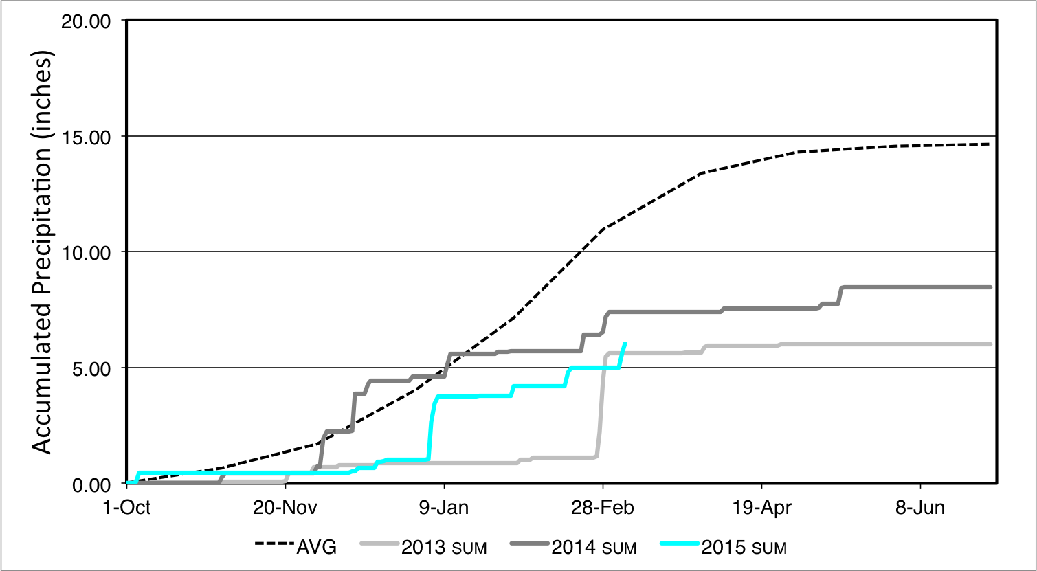
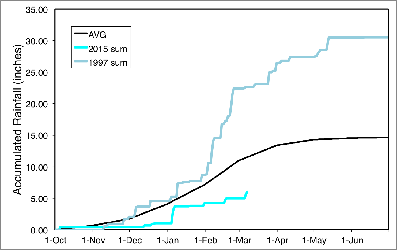
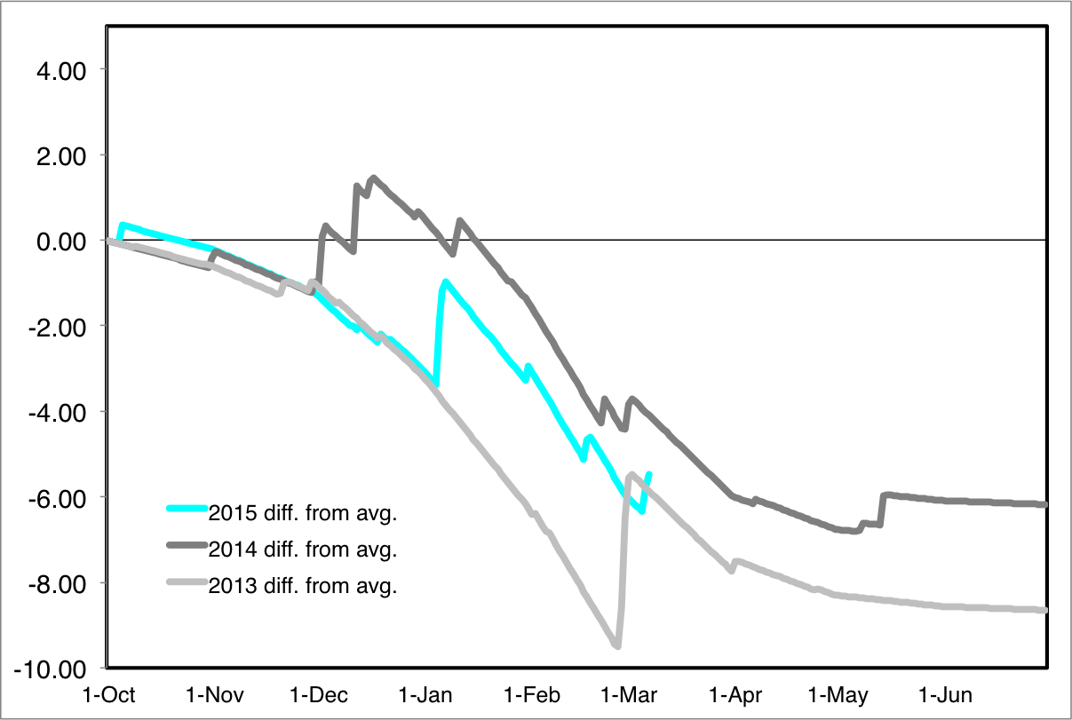
As you can see, we are running about 5" below the "average" for this date. And well below the totals from the 1997-98 El Nino.
In other words: Rain was nice, but we have a lot of ground to make up.
Good news: More storms are coming.
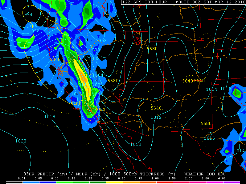
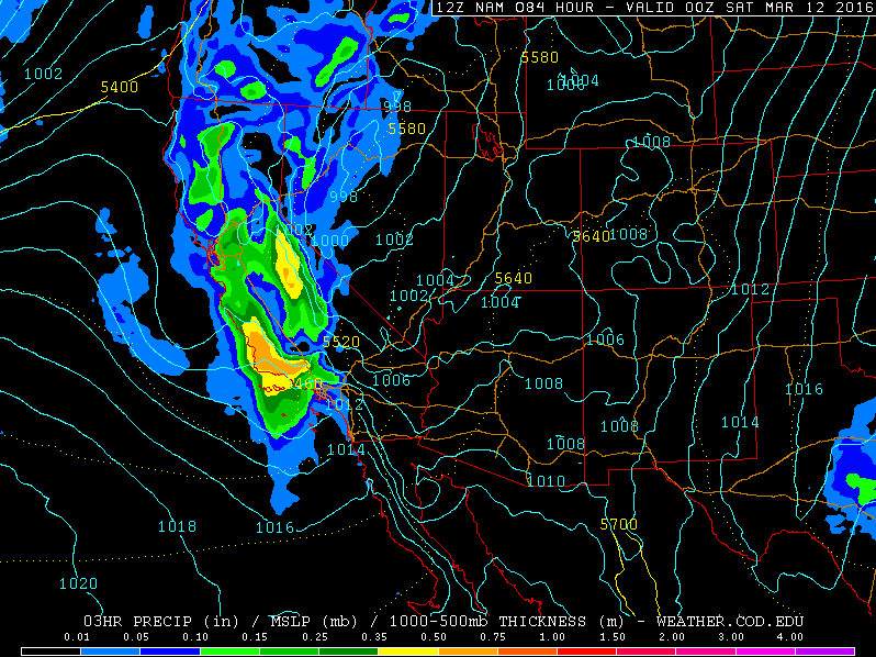
The good news is that more storms are on the way. All of the models agree that we should see a bunch of rain on Friday. It won't be a powerhouse storm, but the consensus is on between 0.50 and 1.0":
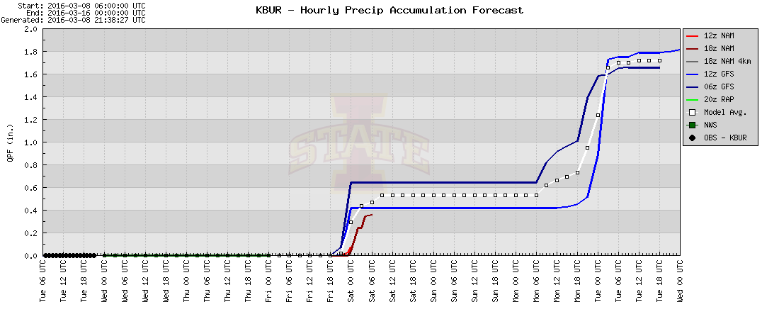
Also, models all seem to agree on timing. The heaviest rain should plow through LA sometime around 4pm on Friday afternoon (great timing, right? :) )

BUT. That's not the end of the story. As you can see, more rain is on tap for Sunday through Tuesday of next week. The detail are still fuzzy, but all models agree that some sort of Pacific train of moisture should keep showers and rain going for a while.